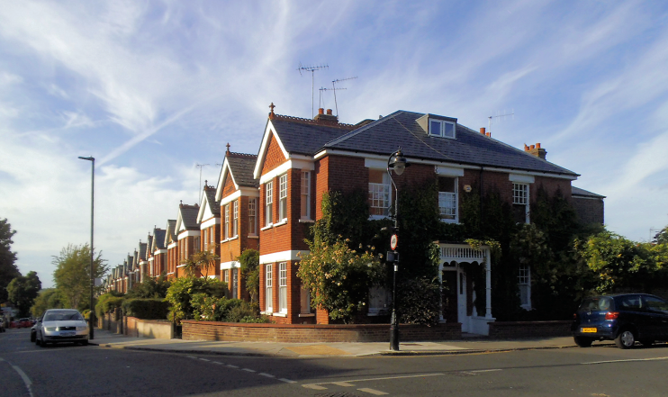
Pitshanger Village
Pitshanger Village, Ealing
An estate agents’ label for one of the most advantaged parts of north Ealing, centred on Pitshanger Lane and sometimes taken to include the garden suburb of Brentham

Pitshanger’s name was first recorded in 1493, and may refer to a wooded slope frequented by hawks or kites. Pitshanger manor once covered an area stretching from Hanger Hill to Mattock Lane. Pitshanger Farm (for a while called Pitch Hanger Farm) lay in the north of the manor in the 18th and 19th centuries, latterly keeping dairy cattle.
Pitshanger Lane (originally Pitshanger Road) followed its present route by 1894. Between the start of the 20th century and the outbreak of the First World War the area was transformed, first by the creation of Brentham to the north, and then by the building of houses, shops, churches and a school along Pitshanger Lane. The farmhouse at Pitshanger Farm was demolished in 1908, but some of its land was preserved as Pitshanger Park, now part of Brent River Park.
The Pitshanger Community Association organizes a Pitshanger party in the park each summer and ‘Light up the Lane’, held in Pitshanger Lane to mark the start of the Christmas festivities.
Sir John Soane’s Pitshanger Manor is located well to the south of the ‘village’, in Walpole Park, off Mattock Lane.
