Waddon
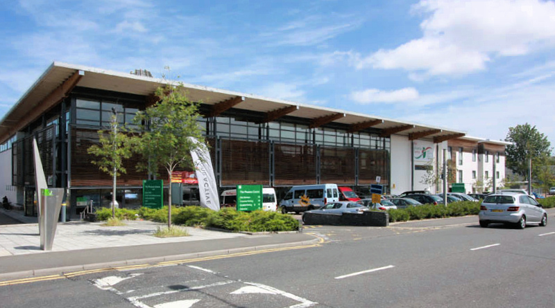
Waddon, Croydon The western side of Croydon, noted for its business and retail parks Waddon’s name was first recorded in the twelfth century and derives…
Read More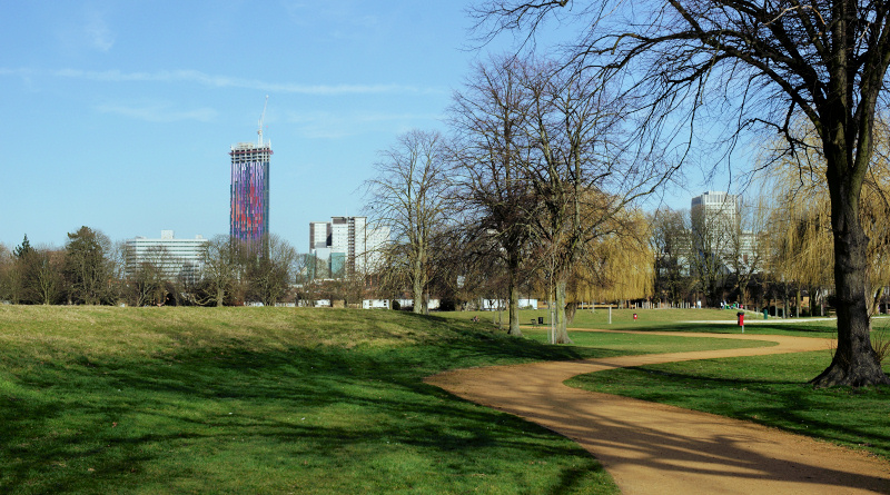
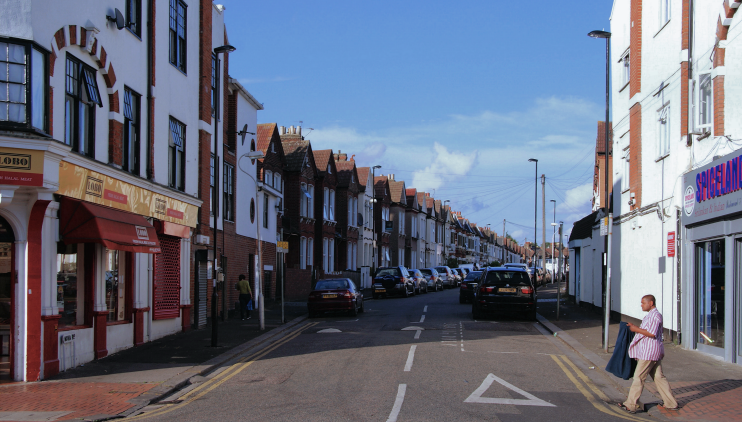
Broad Green, Croydon A tarnished gateway to Croydon, Broad Green straddles the London Road south of Thornton Heath Broad Green’s name, which is self-explanatory, dates…
Read More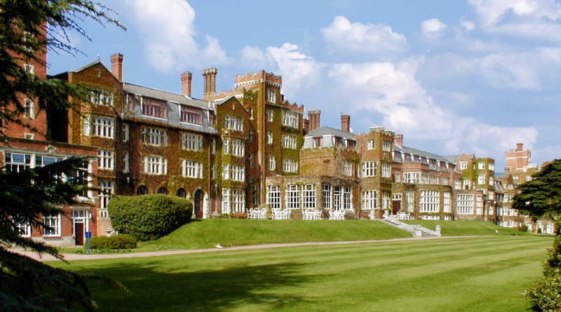
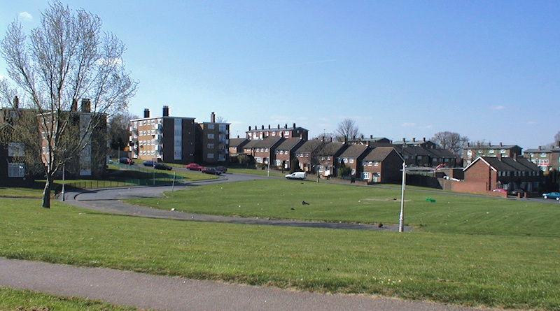
New Addington, Croydon A disadvantaged settlement situated in the far east of the borough of Croydon, set on a steep hillside rising into the North…
Read More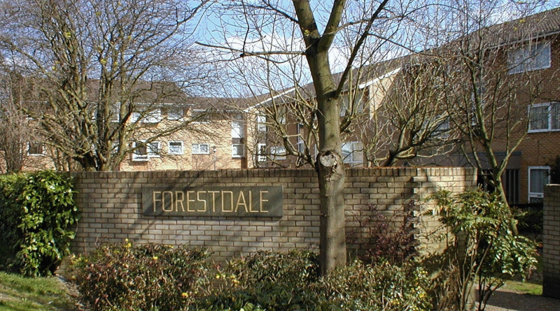
…area: Croydon, CR0 Website: Forestdale Residents’ Association Further reading: John S Wagstaff, From ‘Hungry Bottom’ to Forestdale … A chronicle of changing Croydon through the…
Read More
Addiscombe, Croydon A Victorian and interwar extension of Croydon, which lies to its west Although there is no record of Addiscombe’s existence before the 13th century,…
Read More